The main window in Solar Maps always displays a map. When the program first starts, it will display a Google map of the world. You have the option of choosing an open source map by selecting New Map in the Map menu.
You also have the option to select any other stored map to be displayed by using the Select Map option, or clicking on the Map tool button on the button bar. These are world, regional, or US State maps that are derived from your chosen Map, Google or otherwise.
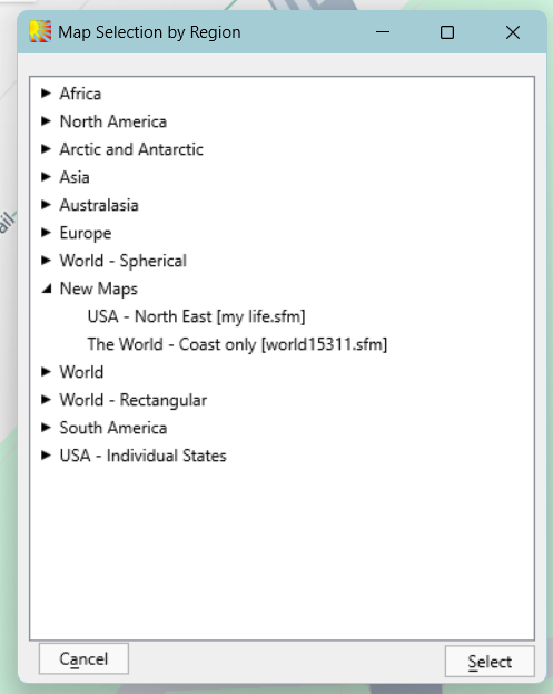
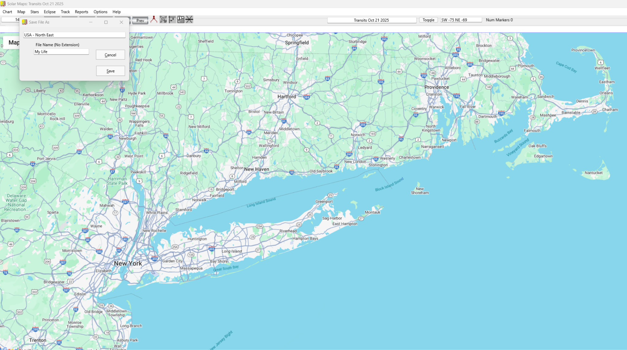
You may also create or customize your own maps using your mouse wheel, or the Zoom in or Zoom out tool (plus or minus sign) in the bottom [or top] corner of the map view. This would allow you to Zoom into an area as small as your own neighborhood or home. You can save this map by selecting Save Map As in the Map menu. Your saved map can be retrieved by choosing New Maps in the Map Selection by Region dialog box.
You can also switch to a satellite view by clicking on the figure and “walk” through the selected area. You can also scroll to different areas of the map by dragging the “hand” across the map.
Selecting a Map
Solar Maps is supplied with a range of pre-defined map files covering most regions of the world. Note that the user can also create an unlimited numbers of additional maps of any areas with a variety of display options, and these may be stored along with the pre-defined maps.
Choose Select Map from the “Map“ menu, or click on the “Map“ button above the map display area. This will display the “Map Selection by Region” dialog box, which contains a list of maps organized into a collapsible/expandable hierarchical list by region. The regions are listed in alphabetical order, and the maps within each region are listed in alphabetical order of their descriptions, and have their file names shown in square brackets following the descriptions.
To find and select a particular map to display, you can navigate the list by first finding the required region, expand the sublist entries for that region, and then highlight and select the required map which is then displayed in the main map screen. You can also use this map selection dialog to do any of the following.
Click on the box with the “-” or “+“ sign to the left of the region name, or double click on the region name itself. This will expand or collapse the sublist of maps within that region or topic header. Click on the map description in the list and then click on the “Select“ button, or double-click on the map description. Doing so will display the required map.
Re-Opening a Recently Used Map
Each time that you select a map from the list of pre-defined maps, the name of that map file is added to the list at the bottom of the “Map“ menu. The eight most recently opened maps are listed on the menu, with the most recent one at the top of the list.
Click on the item with the name of the map at the bottom of the “Map“ menu. Whichever map you re-open in this way will then appear at the top of that list.