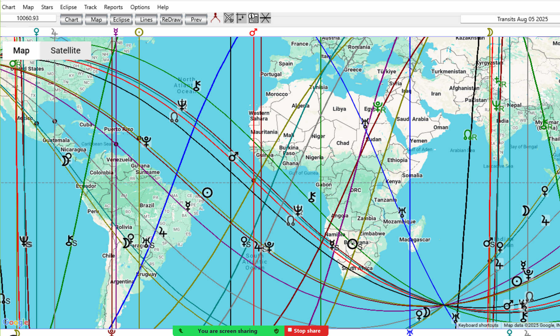
Like other windows, the Solar Maps main window may be minimized, resized, and moved around the screen. Whenever you resize the window, the map will be redrawn automatically to fit the new window size.
The Title Bar - the bar across the top of the window - normally displays information about whatever chart, eclipse and track or event is currently being displayed, and what kind of astrological lines are being displayed. Some examples are:
Transits 25 Jan1997 - Natal - Lines: MC/IC/Rise/Set
AstroClock - 2:13 PM 23 Jul 1996 - Lines: MC/IC/Rise/Set
John Smith - Natal - Lines: Local Space
John Smith - Natal & Eclipse of 26 Feb 1998 - Lines: MC/IC/Asc/Dsc Eclipse of 26 Feb 1998
The menu is the means of accessing all the options within the program. The main headings in the menu are:
• Chart - Options for selecting and displaying charts and astrological lines on the current map and exiting from the program.
• Map - Options for selecting and editing maps, lines and glyphs,
• Stars - Options for selecting stars to be displayed with the current chart
• Eclipse - Options for selecting solar eclipse lines to display on the current map
• Track – Options for selecting tracks and events to plot on the current map
• Reports - Options for selecting various listings and reports
• Options - Special display and advanced options
• Help - On-line help
 or

The location information box displays the current position of the cursor over the map in terms of latitude and longitude. It also displays angular and linear distance between two points when used with the Caliper mouse mode option.

The mouse mode buttons enable you to switch between various modes of mouse operation. These modes left to right are:
▪ Caliper - By default, this.indicates the locational latitude and longitude information, as the mouse moves Also, if you click the Caliper, and then any point on the map, moving the mouse, will give the distance moved. Click the Caliper button again to return to latitude and longitude.
▪ Relocate - To select a point to relocate a chart to.
▪ Rulers - To add reference ruler lines to the map.
▪ Interpret – To see a relocation report click anywhere on the map, or click on a glyph to popup its interpretation on that line.
▪ Parans - Customize to desired Parans.
See Using the Mouse for more information on the mouse modes.

As well as the drop down menus the buttons above give immediate access to the main adjustments, as you interact with the maps.
▪Chart - In Calculated Charts
▪Map - Quick access to any area of the world
▪Eclipse - Choose and customize eclipse lines
▪Lines - Customize a wide variety of lines
▪Redraw - Go back to previous operation
▪Prev - Special go back feature for Spherical World Maps
The line symbols which appear at the top and bottom of the map

(and on some lines within the map itself) indicate the line type.
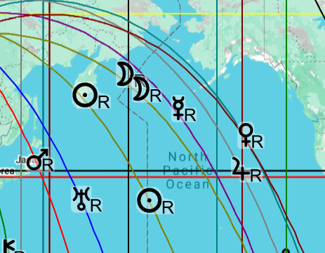
For example, the VenusR symbol indicates the line along which Venus is rising. Running the mouse across the symbols generates pop-ups that indicate which line is which. See Viewing Interpretations for a more detailed explanation of this feature. Zooming in and out is controlled by the scroll or mouse wheel operation, or use the + and - button on the screen.